 |
 |
|
|
Water Data |
|---|
View near-real-time streamflow conditions
|
 |

|
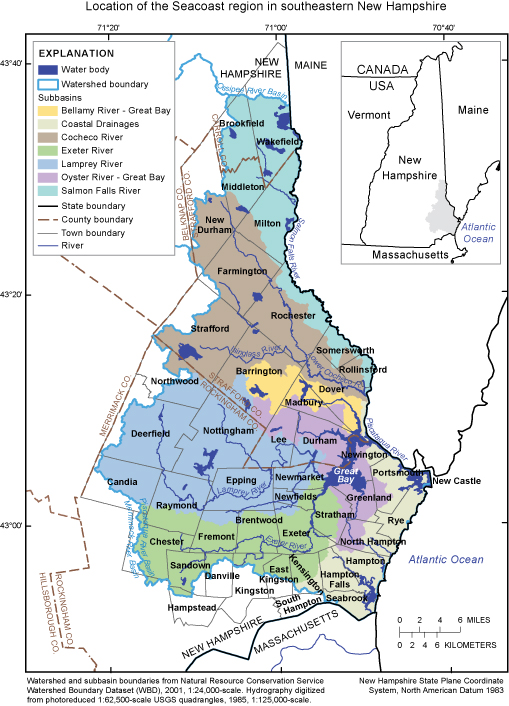
Water Demand Likely to Increase Substantially in New Hampshire�s Seacoast Region by 2025 |
|
Recently Released Reports Now Available Online: |
 NEW: SIR2008-5120:
Flood of April 2007 in New Hampshire NEW: SIR2008-5120:
Flood of April 2007 in New Hampshire |
 NEW: SIR2007-5157: Methods for and estimates of 2003 and projected water use in the Seacoast Region, Southeastern New Hampshire NEW: SIR2007-5157: Methods for and estimates of 2003 and projected water use in the Seacoast Region, Southeastern New Hampshire |
|
 Biogeochemistry, v. 87, no. 3, p. 311-323: Nitrogen attenuation in the Connecticut River, northeastern USA; a comparison of mass balance and N2 production modeling approaches Biogeochemistry, v. 87, no. 3, p. 311-323: Nitrogen attenuation in the Connecticut River, northeastern USA; a comparison of mass balance and N2 production modeling approaches |
|
| More Reports from 2007-08 |

Contacts |
|---|
|
Selected Projects |
 SPARROW Map Viewer SPARROW Map Viewer |
Other Highlights |
(PDF file) |
|
U.S. Department
of the Interior |
Comments and feedback: NH/VT webmaster-nh@usgs.gov URL: http://nh.water.usgs.gov and http://vt.water.usgs.gov Last Updated September 3, 2008 Privacy Statement || Disclaimer || Accessibility |