Utah Water Science Center
USGS | Water | Biology | Geology | Geography |
Welcome to the U.S. Geological Survey Utah Water Science CenterServing Utah and the Nation by providing the hydrologic information and understanding needed to achieve the best use and management of the Nation's waters. |
USGS National Links |
|
Water Conditions - Quick Links
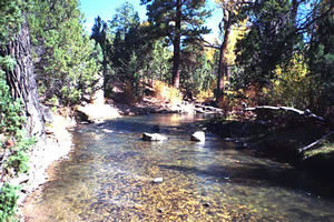
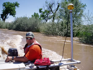
Photo Gallery - In the Field in Utahselect thumbnails for larger viewThumbnail panels:
|
Recent PublicationsDissolved-Solids Transport in Surface Water of the Muddy Creek Basin, Utah: U.S. Geological Survey Scientific Investigations Report 2008-5001, by S.J. Gerner (December 2007) Net-Infiltration map of the Navajo sandstone outcrop area in western Washington County, Utah: U.S. Geological Survey Scientific Investigations Map 2988, by V.M. Heilweil and T.S. McKinney (October 2007) Geospatial database of ground-water altitude and depth-to-ground-water data for Utah, 1971-2000: U.S. Geological Survey Data Report 302, by S.G. Buto and B.E. Jorgensen (October 2007) Characterization of dissolved solids in water resources of agricultural lands near Manila, Utah, 2004-05: U.S. Geological Survey Scientific Investigations Report 2006-5211, by S.J. Gerner, L.E. Spangler, B.A. Kimball, and D.L. Naftz (October 2007) Effects of Agriculture and Urbanization on Quality of Shallow Ground Water in the Arid to Semiarid Western United States, 1993-2004, National Water-Quality Assessment Program: U.S. Geological Survey Scientific Investigations Report 2007-5179, by A.P. Paul, R.L. Seiler, T.G. Rowe, and M.R. Rosen (September 2007) Dissolved Solids in Basin-Fill Aquifers and Streams in the Southwestern United States, National Water-Quality Assessment Program, U.S. Geological Survey Scientific Investigations Report 2006-5315, by D. W. Anning, N.J. Bauch, S.J. Gerner, M.E. Flynn, S.N. Hamlin, S.J. Moore, D.H. Schaefer, S.K. Anderholm, and L.E. Spangler (September 2007) Methods for Estimating Magnitude and Frequency of Peak Flows for Natural Streams in Utah: U.S. Geological Survey Scientific Investigations Report 2007-5158, by Terry A. Kenney, Chris D. Wilkowske, and Shane J. Wright (August 2007) |
|
Highlights
|
||

![]() U.S. Department of the Interior | U.S. Geological Survey
U.S. Department of the Interior | U.S. Geological Survey
URL: http://ut.water.usgs.gov
/newUTAH/index.htm
Page Contact Information:
GS-W-UT_Web_Requests@usgs.gov
Page Last Modified: Wednesday, 03-Sep-2008 12:49:15 EDT