November 18: Older browsers will not have access to burnseverity.cr.usgs.gov due to security upgrades. View browser requirements.
IMPORTANT UPDATE: MAY 2010...
Early in 2010, NPS and USGS decided to transfer the data archive and distribution function of this website to the Monitoring Trends in Burn Severity project (MTBS).
NPS and other DOI requests to map and assess specific fires should still occur through this website. They will be completed as soon as suitable imagery is available. USGS will quickly deliver the results to the requestor via CD or direct download. The new data sets will also be posted on the MTBS project website for archive and exclusive on-line delivery.
Data sets available at this site as of May 2010 will continue to be available through FY2012. In FY2012, these data sets will be reprocessed to meet MTBS specification and transferred to mtbs.gov. By FY2013 we anticipate that this transfer will be complete and the datasets will only be available on the MTBS website.
Since October 2007, this project has used procedures developed for the Monitoring Trends in Burn Severity (MTBS) project to satisfy National Park Service burn assessment requests received via this website. Please make your request by clicking the "Request Data" button on this page. Click here for further information.
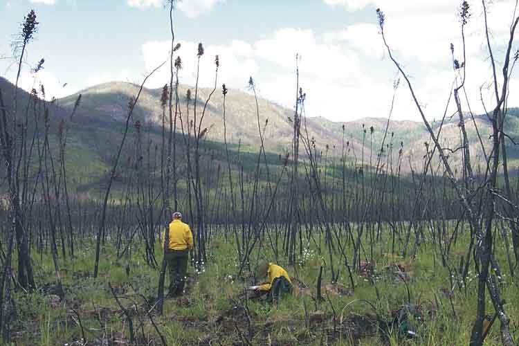
The Joint NPS-USGS National Burn Severity Mapping Project addresses the need to quantify fire effects over large, often-remote regions and long time intervals. It reflects collaborative efforts to bring previous research into operational implementation for fire managers and scientists. The project focuses on National Park Service Units and adjoining lands throughout the U.S., mostly beginning with fire-year 2000, although earlier burns have been examined in some areas. It combines processing, data archive, and remote sensing expertise of the USGS EROS Data Center with the local knowledge and field sampling capability of the NPS, and the fire-effects research of the USGS Northern Rocky Mountain Science Center to deliver an effective yet simple approach to mapping severity.
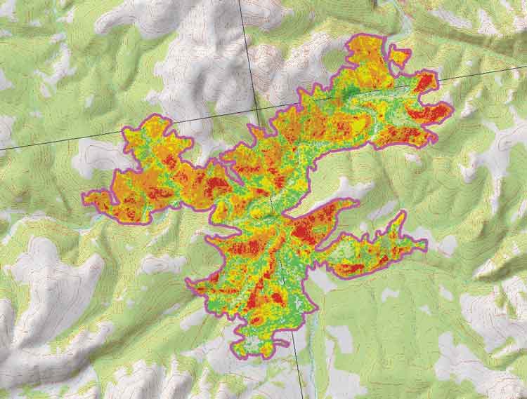
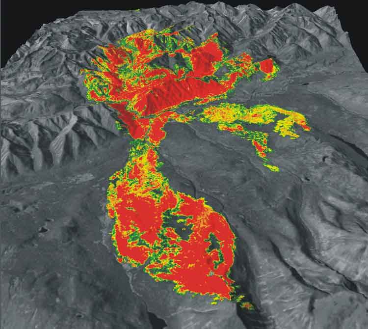
This web site provides access to accumulating data within that database. Search and query functions lead users to individual burn information pages. Product deliverables may be retrieved, including textual information, graphic images, digital spatial data, and metadata. Through such standardized methodology and products, information can be compared or aggregated across multiple burns.
Users should carefully review the following information for proper interpretation and application of products: Overview, Methodology, and Data Contents.