Current INL Observations
Click
for all observations.
Current Warnings
INL Warnings
SE Idaho Warnings (NWS)
Current Conditions
INL Observations
INL Wind Trends
Top Wind Gusts
Profiler Wind Plot
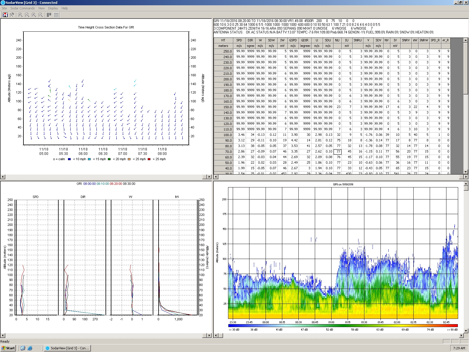
Sodar Wind Plot
Sodar Data File
Surface Map
SE Idaho Radar
Satellite Imagery
INL Lightning Table
(INL Only)
INL Lightning Map
(INL Only)
Storm Tracks
INL Camera
SE ID Weather Cams
ID Road Conditions
Forecasts
INL Forecast
Idaho Falls (NWS)
Bingham County
Butte County
Jefferson County
Southeast Idaho (NWS)
Fire Weather (NWS)
WRF Model
HRRR Model
NCEP Models
Model Output Statistics (MOS)
Storm Prediction Center
Climate
INL
Local (NWS)
Climate Prediction Center
NOAA INL Mesonet
Daily Summary
Data Extractor
Graphical Display
INL Meteograms
Precipitation Summary
Tabular Display
Upper Air Display
Windfield Display
Weather Safety
Weather Radio
Winter Safety
Flash Flood Safety
Summer Safety
Lightning Safety
Storm Ready
Preparedness
Other Links
NWS Home Page
NWS Pocatello
Fort St. Vrain
Contact:
INL weather questions
phone: 526-2744
email
NOAA FRD HOME
***NEW!
Download the INLViz replacement Viz+
here
.
CURRENT INL WARNINGS
NWS Watches/Warnings
There are no active watches, warnings or advisories
Fire Weather
There are no active watches, warnings or advisories
FRD INL Weather Alerts/Statements
There are no active NOAA INL Weather Center Alerts or Statements.
Current INL WEATHER ALERT/STATEMENT
(criteria)
FORECAST
Click below for latest forecast.
WINDS
Click below for latest INL winds.
6-HR CFA WIND TREND
Click below for larger image.
RADAR
Click below for larger image.
Radar Loop
Expanded Radar View
SATELLITE
Click below for larger image.
Satellite Loop
SE ID Satellite
INL CAMERA
Click below for larger image.
Camera Loop
Sunrise/Sunset
Top Wind Gusts
Current Conditions
Daily Summary
Precip Summary
WRF
/
HRRR
INL Climate
This page automatically refreshes every 5 minutes.
Modified: March 1, 2011
Dept. of Commerce
|
NOAA
|
NOAA Research
|
ARL
|
FRD
Privacy
|
Disclaimer
|
Information Quality
|
webmaster


