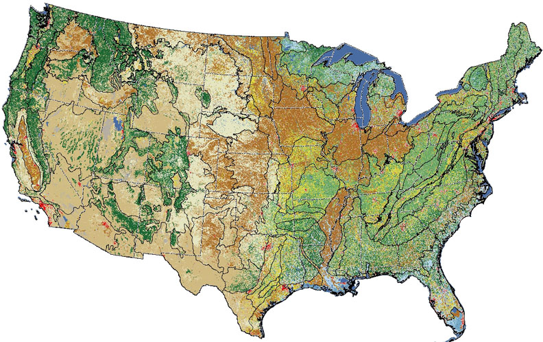
Land Cover Trends Project
|
|
Land Cover Trends Project |
|||
|

![]() U.S. Department of the Interior |
U.S. Geological Survey
U.S. Department of the Interior |
U.S. Geological Survey
URL: http://landcovertrends.usgs.gov/download/dlMap.html
Page Contact Information: WRG Web Team
Page Last Modified: Thursday, 07-Jul-2016 11:19:51 EDT (mg)